In October of this year, well-known names from the various disciplines of geology, geophysics and geodynamics met at the Geological Society of London to celebrate the 50th birthday of plate tectonics.
 The meeting, which I attended and which was broadcast online to people all over the world, served as a retrospective progress report and a look forward to the next fifty years of tectonics research.
I hugely enjoyed the day and in this Blog Post I have laid out the key points of interest that I took away with me.
Speakers underlined the continuing importance of plate tectonics in academia and the exploration industry. The meeting made it very clear that plate tectonics remains at the cutting edge of Earth Science research and continues to be the starting point for resource exploration.
The conference highlighted some important recent advances including advances in 4D geosciences, increased resolution in satellite-derived geophysical data, and how big data and machine learning is being incorporated into tectonic reconstructions.
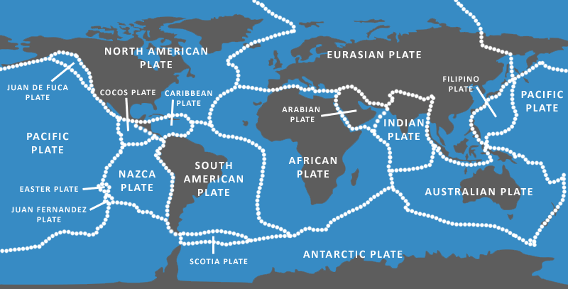
Traditional methods of reconstructing plates often rely on preserved oceanic crust as a key indicator of plate motions. For times in the Jurassic and older there isn’t enough preserved oceanic crust to constrain reconstructions and modellers must rely on continental data and geophysical techniques to produce accurate reconstructions.
Contributors demonstrated that developments in mantle imagery and seismology can help to overcome the problem of data-poor areas in deep geological time.
Seismology images long-subducted oceanic plates in the Earth’s mantle; these are used to make predictions of oceans that existed pre-Jurassic including the amount of oceanic crust that was present, the age of subduction termination and the likely location of the convergent plate boundary.
Compilations of subducted slabs imaged by mantle seismology, such as the Atlas of the Underworld, make it simple to access these data for tectonic reconstructions and help to unravel long-extinct collisional zones.
Applying 4D geodynamics techniques pushes plate models away from kinematic terrane models and towards full-plate, dynamic models over deeper geological time.
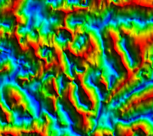
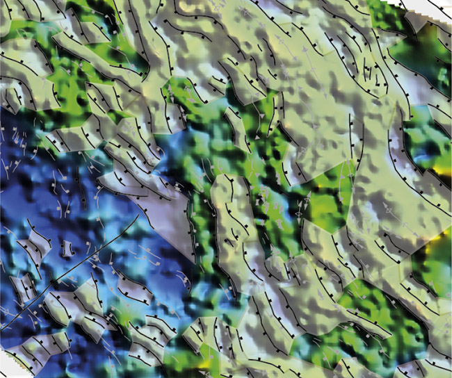
Improvements in satellite imagery and satellite-derived data are uncovering hidden structure in areas such as the Gulf of Mexico.
Previously the tectonics of the Gulf of Mexico were predicted using paleomagnetic data from the Yucatan Peninsula to infer the opening history of the Gulf; now multi-satellite gravity data images oceanic fracture zones that confirm the motion path of the Yucatan Peninsula away from the North American mainland and new magnetic data reveals comparable features on both margins which act as a tie-point for the reconstructions.
Big data and high-performance computing are further expanding the ability to model plate tectonics.
Publicly available compilations of key data such as the Global Seafloor and Magnetic Lineation (GSFML) Database and the Atlas of the Underworld make accessing crucial data required for tectonic reconstructions easily accessible and consistent.
Alongside global data compilations, machine learning techniques have been applied to tectonic models to predict areas where tectonic conditions favour the production of copper-gold deposits from mantle derived fluids. By assimilating known copper-gold deposits along the Andean margin into a tectonic model the most favourable combination of plate convergence speed, obliquity and age of down-going crust can be determined.
In resource exploration, better plate reconstructions mean better palaeogeography and palaeotopography maps, more robust climate predictions and ultimately form the basis for the next generation of global Earth models, essential for locating natural resources.
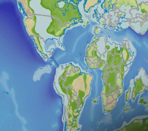
Getech’s palaeogeography maps were prominently displayed in relation to exploration of the North Atlantic margins; they demonstrate the relationship between Atlantic basin evolution and regional tectonic events and potential links with the western Tethys Ocean.
Getech’s potential field compilations were also used alongside high-resolution seismic data to uncover tectonic structure in the Caribbean Sea for the first time; shining new light on a much debated area of great petroleum potential.
By incorporating cutting edge techniques to develop more sophisticated tectonic reconstructions Getech can provide robust interpretations of basin evolution including timing of basin fill, source to sink relationships and sediment provenance analysis.
Written by Peter Webb
Geodynamicist at Getech

