ArcGIS for Renewables
Rapidly deploy market-leading GIS to see your operations like never before
Wind Energy
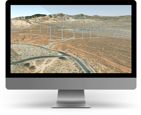
Use the ArcGIS Platform to help streamline Wind Energy operations, across a variety of use case scenarios:
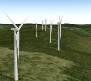
- Perform a Visual Impact Assessment – see how your proposed project will impact the surrounding environment and communities
- Conduct Site Suitability Analysis – identify constraints and setbacks to determine which areas are best suited for development
- Track the Status of Your Project – monitor leasing and land acquisition activity to stay on schedule and avoid costly mistakes
- Coordinate Inspection and Maintenance Activities – manage field workers and enable them with tools to navigate, visualize, and capture information on location
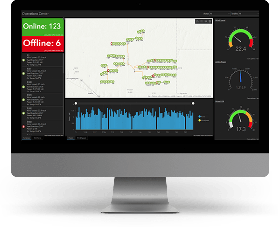
- Monitor your Assets in Real Time – gain situational awareness of your assets, people, and resources to enable information-driven decision making
- Engage with Key Stakeholders and the Community – build positive relationships with landowners, businesses and the community through transparency and awareness
Solar Energy
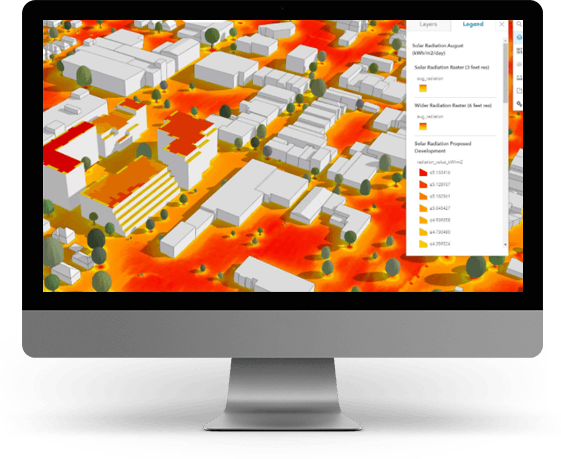
Use the ArcGIS Platform to help streamline Solar Energy operations, across a variety of use case scenarios:
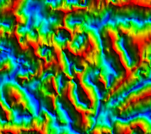
- Calculate Solar Radiation – map and analyze the effects of the sun over a geographic area for specific time periods. Account for atmospheric effects, site latitude and elevation, steepness and compass direction, daily and seasonal shifts of the sun angle, and effects of shadows cast by surrounding topography. Integrate with other GIS data to model physical and biological processes as they are affected by the sun.
- Visualize and Track the Status of your Projects – monitor leasing and land acquisition activities to stay on schedule and avoid costly mistakes. Always work with authoritative data that is updated in real time.
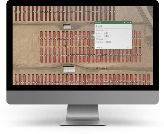
- Map and View all Assets – accurately map the location of your entire solar farm. Stay informed of asset status, maintenance, or performance.
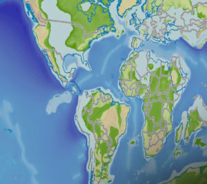
- Find Accurate Energy Potential in your Area of Interest – access to the foremost collection of geographic information from around the globe.
A single authoritative source of information
Integrate project, in-house, regulator, govemental, vendor and public domain data to create a single authoritative source of information using industry best practices.
Make better decisions
Empower decision makers to make good, well informed and timely decisions by sharing key information using simple, easy to use applications.
