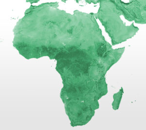
Our total support package for Zimbabwe provides provides unique insights into the country to help you better locate, develop and operate geoenergy projects.
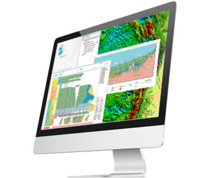
The package comprises gravity & magnetic data compilations, depth-to-basement, temperature-depth maps, Globe, ArcGIS productivity extensions and support from our industry geoscience, geophysics and geospatial experts.
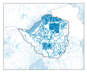
Gravity Products
- Includes a compilation of onshore gravity surveys and our proprietary Multi-Sat data offshore
- Topography and bathymetry compilation enabling reduction to Bouguer and isostatic residual anomaly
- Advanced grid derivatives and transforms
- Complete coverage over offshore areas
- Full country or sub-area packages
- Search our interactive data library
Magnetic Products
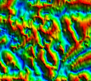
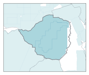
- Compilation of numerous reprocessed surveys
- Reduction-to-pole and advanced processing
- Depth to basement/sediment thickness from integrated G&M approach constrained by independent data
- Full country or sub-area packages
- Search our interactive data library
Temperature-Depth Maps
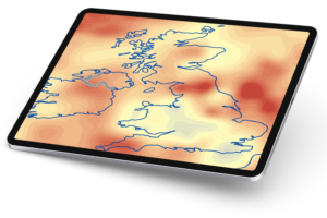
- Rapidly screen geothermal sources with subsurface temperature prediction maps
- Underpinned by Getech’s G&M data, Depth to Basement, global Curie Isotherm and extensive heat flow database
- View and interrogate global Depth-to-Temperature maps for any required temperature
- Interrogate global Temperature-at-Depth maps for any required depth
- Create thermal profiles for any location, globally
Further Insight
We can provide unique market-leading insight into the geological evolution and potential resource prospectivity of specific basins, under-explored areas and frontier regions
- Propsectivity of the East African Rift System
- Bespoke interpretation services
GIS Approach
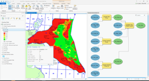
- Make better exploration decisions by assessing play, mineral & carbon storage prospectivity with our Exploration Analyst software
- Easily transfer data between ArcGIS and geoscience systems with our Data Assistant software
- Learn to use ArcGIS using energy data and workflows
Globe
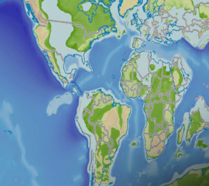
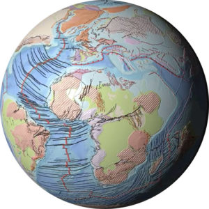
- Understand how the evolution of the planet has controlled the location of natural resources, so you can find them today
- Globe is a geoscience knowledge-base that reaches back through three hundred million years to provide the evidence that modern day exploration decisions need
- Interrogate a fully validated plate model
- Explore high resolution structures with activation histories
- Traverse 59 consecutive time-slices over 300 million years
The Right Support
- G&M Services that provide a combination of survey planning, QC, advanced processing and integrated geophysics interpretation
- Geoscience Services across a range of geological and geophysical applications essential for locating, developing and operating geoenergy projects
- Geospatial Services to help you maximize your return-on-investment in Esri’s industry-leading ArcGIS platform
