


Getech is pleased to announce the release of a new national database of gravity and magnetic surveys for the Faroe Islands and its waters.
We have generated this new database in conjunction with Jarðfeingi (the Faroese Earth and Energy Directorate). The database is a valuable resource for hydrocarbon explorers seeking to have a better understanding of the prospectivity of this region of the North Atlantic.
The database comprises 4 marine full tensor gravity (FTG) surveys, 15 conventional marine gravity surveys, 5 shipborne magnetic surveys and a high-resolution aeromagnetic survey acquired in 1995 that covers the prospective sedimentary basins to the southeast of the islands. Data from Getech’s recently completed Multi-Satellite Altimeter Gravity Programme are also available over all offshore areas.
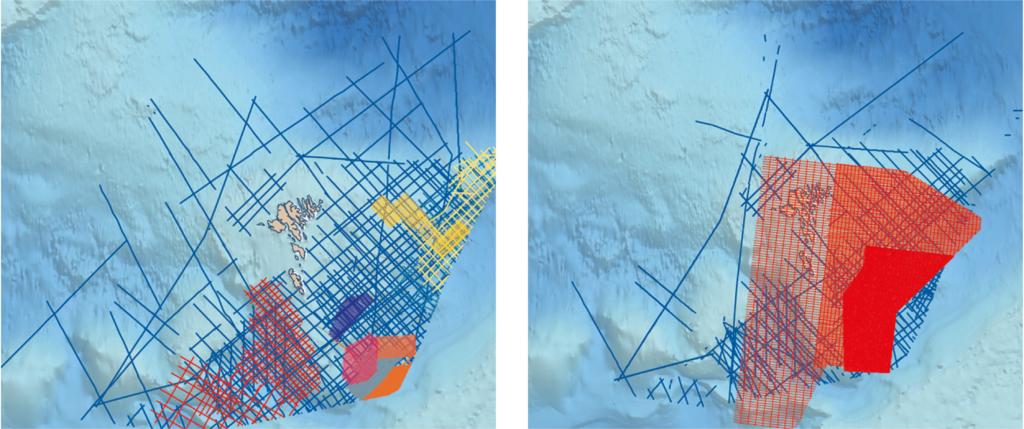
Figure 1: Gravity data coverage for the Faroe Islands. Figure 2: Magnetic data coverage for the Faroe Islands.
The data are available for immediate delivery as digital survey products and merged compilation grids. For more information, please visit Getech’s website page for the Faroe Islands or click to get in touch


